Is there any correlation, I wonder?
http://app2.nea.gov.sg/psimonthly.aspx


 tweet @condoexchange
Is there any correlation, I wonder?
http://app2.nea.gov.sg/psimonthly.aspx
mutant powerpuff
Are the 2 inversely proportionalOriginally Posted by carbuncle
?
tweet @condoexchange
Yes! Sis is rather sharp...
It does appear so doesn't it? Considering the zonal segregation against PSF trends. Won't go as far to try to map out month on month... coz PSI for different zones have different averages on different months.... hmmm. If MoM mapping correlates also, it's sort of scary.
Diving into the Pollutants type...
http://app2.nea.gov.sg/PsiPollutant.aspx
We can notice some kind of pattern according to the FT 'Pollutant' type. (*FLAME ALERT*)
Now this is a direct proportion mapping (higher reading indicate higher nos of pax).
Ozone - Angmoh FT (who else has the highest Ozone-depletion reading in their home country?)
PM10 - Our friendly neighbouring country FT
SO2 - The ASEAN countries FT
NO2 - Land of the Great Wall FT
CO - Stinkaporeans themselves!!! LOL (equal distribution everywhere)
Last edited by carbuncle; 25-08-12 at 11:28.
mutant powerpuff
Yesterday PSI for east only 25?
But yesterday evening time super hazy in my place in the east. Today also quite hazy, can't see batam from my place, usually can see the mountain.
Newbie
How do I read the pollutant infor? item should be bad or good when the number is higher or lower? Please advice me. Which zone should look at for north east? Thank you very much!
 Senior
there will be policy change soon...with all the MM apts coming up...govt will require developer to advertise and sell according to PSI=Per Square Inch

tweet @condoexchange
Higher means more concentration of that particular particulate.
Means higher is bad.
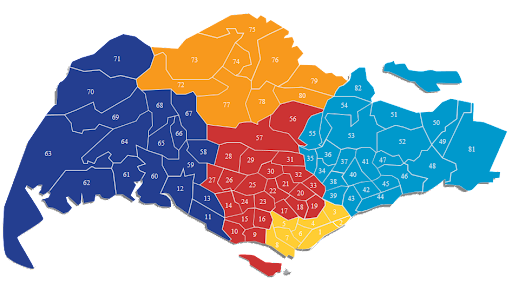
Northeast - Average out the readings for North and East.
tweet @condoexchange
Apparently, after years of self study, the visibility not directly equate to pollutant level, i.e. doesn't mean more hazy means more pollutants and vice versa.
 Posting Permissions

 Reply With Quote
